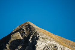
Pizzo Acuto


Lenght: 6500 mt.  
Direction of travel: both  
Hiking time: 3h 30' (andata da Bolognola a E6)  
Difficulty : EE - For experienced hikers  
Path: Bolognola (Villa da Capo) - Forcella del Fargno – Pizzo Acuto - E6 (311 - 274);

stato: open

From Bolognola to Pizzo Acuto


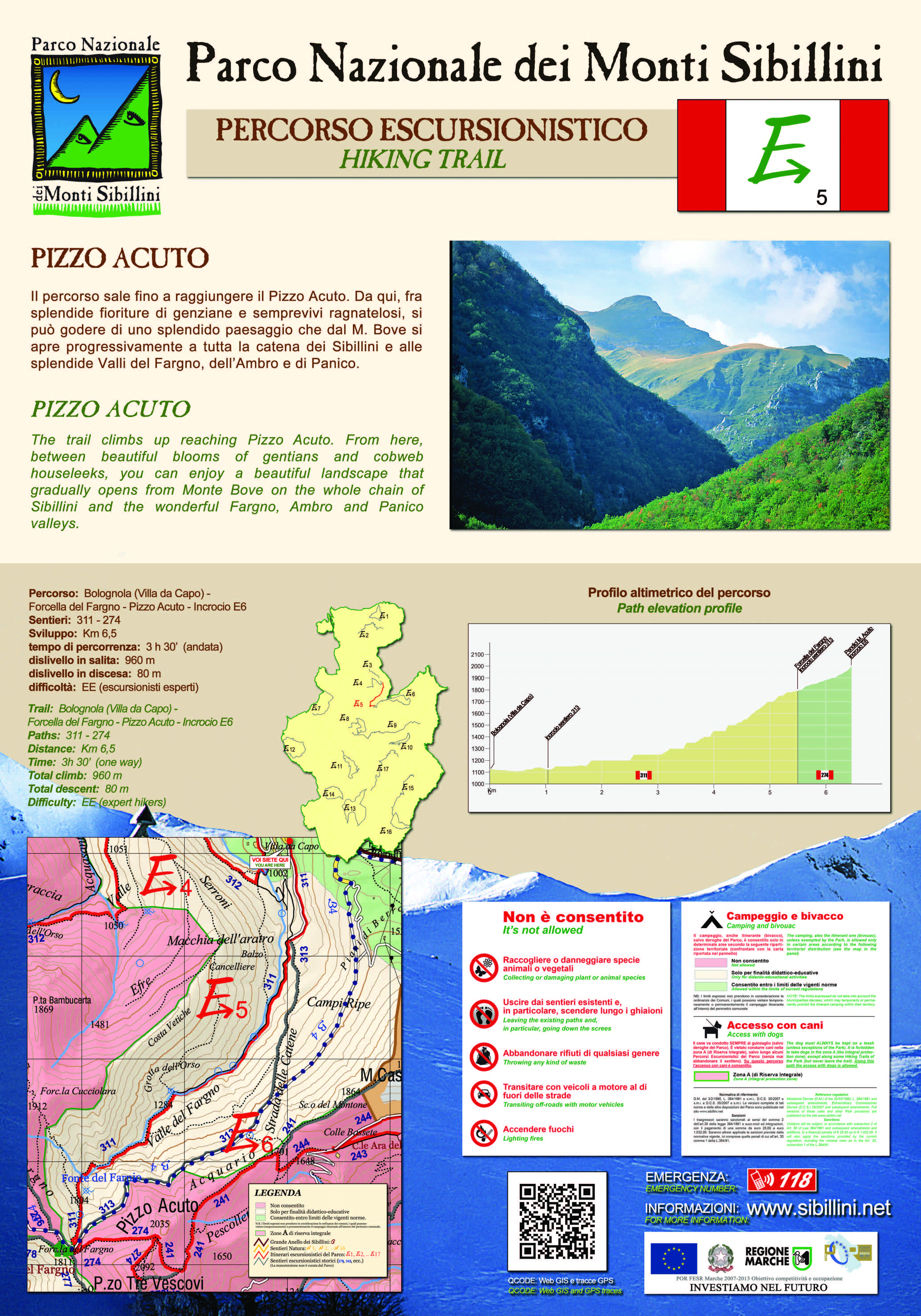
The route climbs up to the Pizzo Acuto where it intersects with the path E6. It is possible to follow the path E6 to reach the top of Pizzo Tre Vescovi, an ancient point where the boarders between the dioceses of Camerino, Spoleto and Fermo meet. From here, among beautiful flowers like the gentiana and the cobweb houseleek, a view of the entire landscape opens upon M. Bove, to encompass the whole chain of the Sibillini, including the splendid valleys of Fargno, dell'Ambro and Panico.


STATUS OF THE ROUTE DETECTED AFTER THE EARTHQUAKE OF 2016
Open hiking trail under maintenance

Map of the ordinances and limitations in force due to the earthquake

Map of the ordinances and limitations in force due to the earthquake

MAPPA


Dogs are allowed in some areas Access to bicycles are allowed in some areas Drones - No fly zone go to the photo gallery Go to the cartographic portal Download georeferenced maps and GPS tracks Download the route for Google Earth
 

TOUCH DISPLAY


go to the route E1   go to the route E2   go to the route E3   go to the route E4   go to the route E5   go to the route E6   go to the route E7   go to the route E8   go to the route E9   go to the route E10   go to the route E11   go to the route E12   go to the route E13   go to the route E14   go to the route E15   go to the route E16   go to the route E17  
Attention, opaque links correspond to paths that are currently closed.


Go to Great Sibilline Ring   Go to the nature trails
consult the website of the weather alerts of the Marche Region consult the website of the weather alerts of the Umbria Region