WARNINGS
After the earthquake of 2016...
read...
some nature hiking
suffered damage due to landslides and geological problems that completely
or partially prevent their use. To allow a more immediate reading of the
status of the hiking trails and the relative usability, the following
graphic is used::
 The green symbol indicates the usable paths,
 the yellow symbol indicates the paths with usable sections and
closed sections,
the yellow symbol indicates the paths with usable sections and
closed sections,
 The red symbol indicates the closed paths.
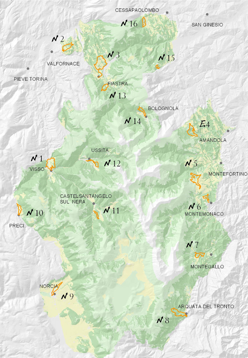
They provide an extra-ordinary opportunity to discover the Sibillini for less expert walkers or those with limited time. They start from historic town centres or from close by and are intended to allow people learn more about various aspects of the park: from the fauna to the flora, vegetation, history and local traditions.
MAP
TOUCH DISPLAY


Attention, opaque links correspond to paths that are currently closed.