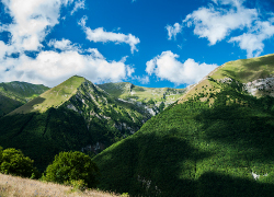

The Hidden Waterfall
Lenght: 5500 mt.
Direction of travel: both
Hiking time: 1h 40' (andata)
Difficulty : EE - For experienced hikers
Path: Bolognola - Valle dell'Acquasanta (312);
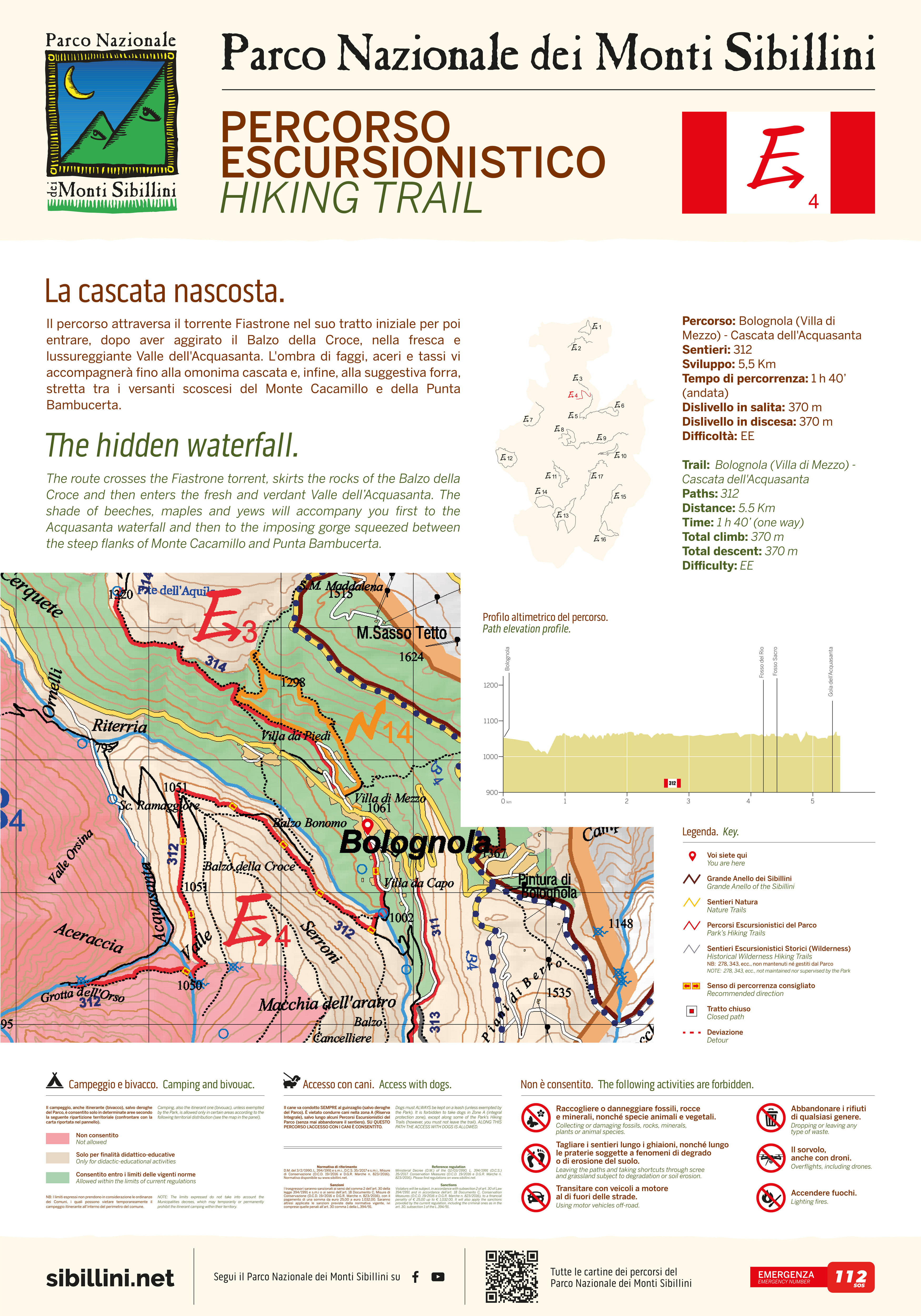
The path crosses the river Fiastrone in its initial section and proceeds through forest. After passing the Balzo della Croce the route enters the lush wooded valley of Acquasanta in the shadow of beech, maple and yews. The route then leads to the waterfall located in a scenic gorge between the steep slopes of Mount Cacamillo and Punta Bambucerta.
STATUS OF THE ROUTE DETECTED AFTER THE EARTHQUAKE OF 2016
Attention: along the path there is a detour marked on site.
*The ordinance of the Municipality of Bolognola n. 26/2023 ordered the reopening of the E4 Hiking trail with the following provisions: to consider the path systematically closed along the entire route, to everyone, in the event of a weather alert for the entire duration of the alert: https://allertameteo.regione.marche.it/

WARNING! Not all devices support the use of the electronic compass.