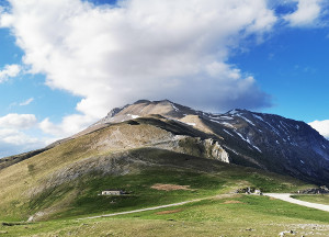

Colle di Montegallo - Colle Le Cese
Lenght: 18570 mt.
Total climb: 650 mt.
Direction of travel: due sensi
Hiking time: 5h 5'
Diffculty : T - Turistico
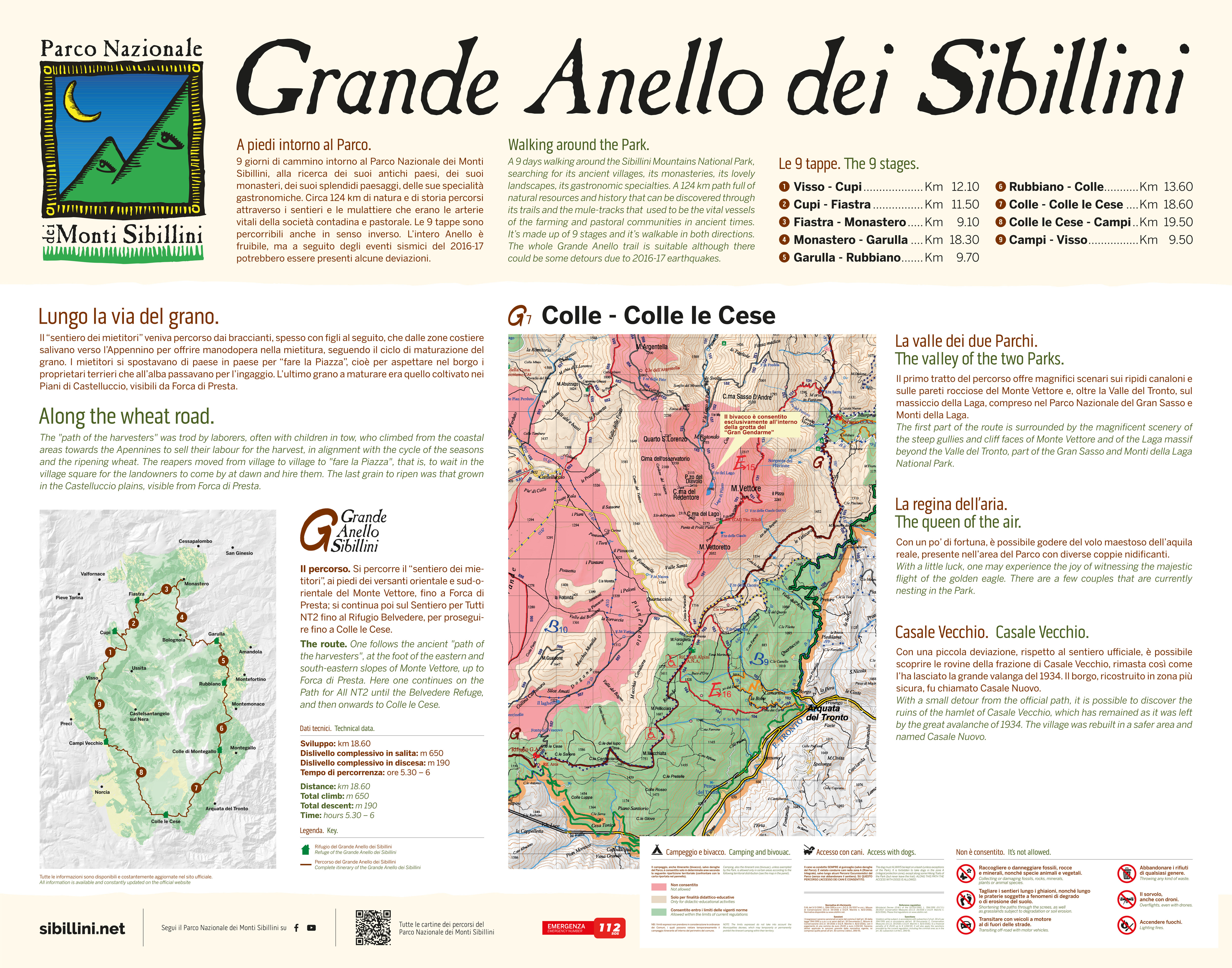
The route continues along the eastern side of the great M. Vettore and then enters a vast pine forest covering the base of the rocky south-eastern side. Following the ‘Path of the Harvesters' the trail arrives near Forca di Presta, where the view opens expansively onto Valle del Tronto and the plains of Castelluccio.
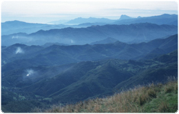
The first section of the path offers magnificent views of steep gullies and the rocky face of Mount Vettore and, further on, beyond the Tronto valley, of the Laga massif, part of the Gran Sasso National Park and Monti della Laga.
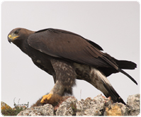
On Mount Vettore, with a bit of luck, it is possible to see the majestic golden eagle in flight.
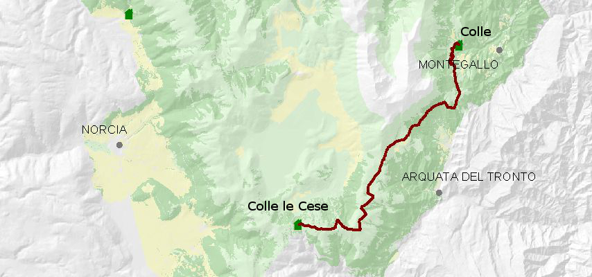
STATUS OF THE ROUTE DETECTED AFTER THE EARTHQUAKE OF 2016
Attenzione - Avviso allerta PESTE SUINA AFRICANA – Chiunque rinvenga una carcassa di cinghiale è pregato di contattare il 380 7989 879 per il versante marchigiano e lo 075 81 391 per quello umbro, o alternativamente il 1515. Si raccomanda di non avvicinarsi e di non abbandonare rifiuti.










IL RIFUGIO E' STATO RESO INAGIBILE DAL TERREMOTO, TUTTAVIA SONO STATE ALLESTITE DELLE STRUTTURE PROVVISORIE SOSTITUTIVE DEL RIFUGIO presso l'Agrimusicismo B&B&B (fraz. Astorara). Il numero massimo di posti letto è di 14 unità.
IL RIFUGIO E' STATO RESO INAGIBILE DAL TERREMOTO, TUTTAVIA SONO STATE ALLESTITE DELLE STRUTTURE PROVVISORIE SOSTITUTIVE DEL RIFUGIO. Il numero massimo di posti letto è di 14 unità.