
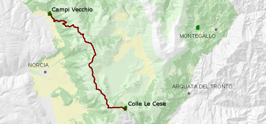
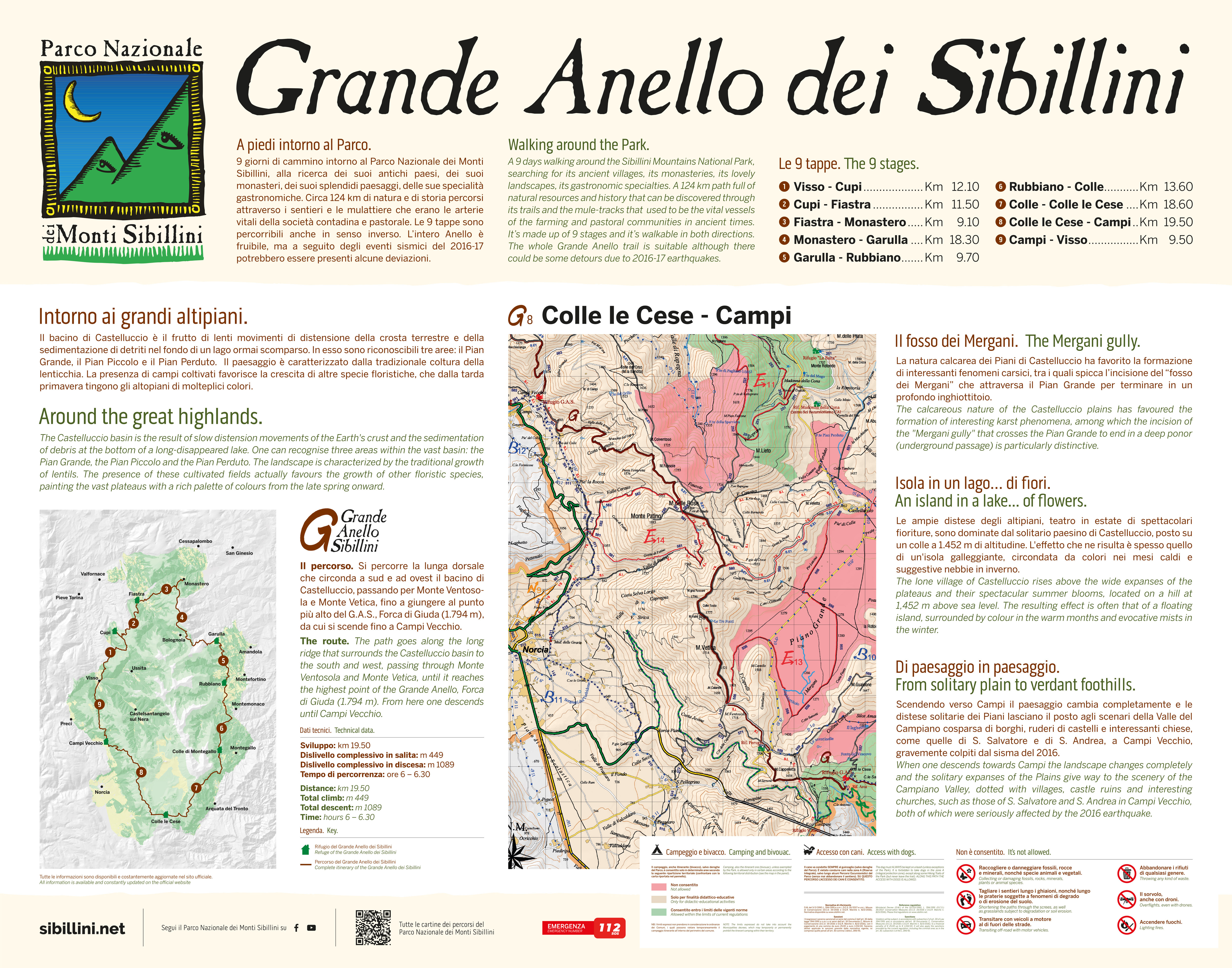
Colle Le Cese - Campi Vecchio
Lenght: 19500 mt.
Total climb: 449 mt.
Direction of travel: due sensi
Hiking time: 6h 00'
Diffculty : T - Turistico
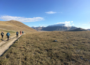
This long route enters the unique environment of the plains of Castelluccio, the largest tectonic depression Sibillini. Fantastic views abound against the imposing western slope of Cima del Redentore. From Forca di Giuda, the highest point (1794 m) on the entire circular route, the path descends to Forca di Ancarano and continues to Campi Vecchio.
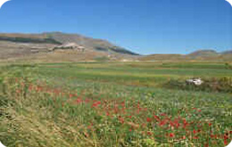
The wide expanses of the plateaus, scene in the summer of spectacular blooms, are watched over by the solitary little town of Castelluccio, set up on a hill at an altitude of 1452 m.
Continuing towards Campi, the landscape changes completely and the lonely expanses of the Plains give way to the countryside of the Campiano valley dotted with villages, ruined castles and interesting churches.
STATUS OF THE ROUTE DETECTED AFTER THE EARTHQUAKE OF 2016
Attenzione - Avviso allerta PESTE SUINA AFRICANA – Chiunque rinvenga una carcassa di cinghiale è pregato di contattare il 380 7989 879 per il versante marchigiano e lo 075 81 391 per quello umbro, o alternativamente il 1515. Si raccomanda di non avvicinarsi e di non abbandonare rifiuti.











IL RIFUGIO E' STATO RESO INAGIBILE DAL TERREMOTO, TUTTAVIA SONO STATE ALLESTITE DELLE STRUTTURE PROVVISORIE SOSTITUTIVE DEL RIFUGIO. Il numero massimo di posti letto è di 14 unità.
IL RIFUGIO E' STATO RESO INAGIBILE DAL TERREMOTO, DI SEGUITO SONO RIPORTATE LE STRUTTURE DI PROSSIMITA' ATTUALMENTE DISPONIBILI.